 vesseltracker.com
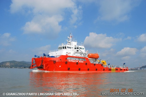
Vessel MEO GALAXY IMO: 9608881, MMSI: 351186000 Utility Vessel
UTC, 27.69328, 49.83578, course: 18, speed: 0.3
UTC, 27.69330, 49.83587, course: 15, speed: 0.1
2026-03-01 15:42:46 UTC, 27.69331, 49.83599, course: 354, speed: 0.2
Live AIS position:
UTC. 32 nm NE of Ras Al-Khair),
updated 2026-03-01 15:42:46 UTC.
Find the position of the vessel MEO GALAXY on the map. The latter are known coordinates and path.
marine traffic ship tracker show on live map
The current position of vessel MEO GALAXY is 27.69331 lat / 49.83599 lng. Updated: 2026-03-01 15:42:46 UTCCurrently sailing under the flag of Panama
MEO GALAXY built in 2011 year
Deadweight:
1500 tDetails:
Last coordinates of the vessel:
UTC, 27.69327, 49.83581, course: 8, speed: 0UTC, 27.69328, 49.83578, course: 18, speed: 0.3
UTC, 27.69330, 49.83587, course: 15, speed: 0.1
2026-03-01 15:42:46 UTC, 27.69331, 49.83599, course: 354, speed: 0.2